I’ve visited Australia’s Red Centre many times, on board the Ghan train, and by coach escorting groups as a tour guide. But to hike there within its national parks, provides a different experience, a deeper connection.
The Red Centre takes in Alice Springs, Kings Canyon, Kata Tjuta and Uluru, a destination of spectacular geological formations, rare flora and fauna and exceptional natural beauty.
Alice Springs
The town of Alice Springs has one of the most dramatic locations of any outback town and a history dating back to the Old Telegraph Station built in the 1870s, a turning point in Australia’s communication with the rest of the world.
For a panoramic view of the city, and the stunning backdrop of the MacDonnell Ranges, head to Anzac or Billy Goat Hill. Historic sights are also worth a look, including the Royal Flying Doctor Service and the Olive Pink Botanic Garden. It was here that I met our walking group.
Watarrka National Park: Giles track
Signalling with a thumb’s up, our pilot soon had us on our way. Flying at low altitude over the West MacDonnell Ranges in a Cessna reveals so much about this vast arid landscape. The earth below coloured a deep red, is slashed by solitary roads, and swaths of brown bush, salt pan lakes, and the sandstone bluffs and cliffs of the ranges, pocked and corrugated, was an endless expanse before us.
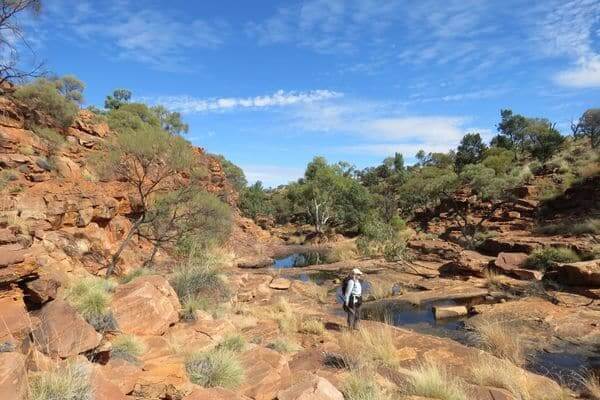
Arriving on the landing strip at Kings Creek Station, we were met by our guide Danny, who drove us to begin our hike, one of the most memorable I’ve done, and challenging due to the varied terrain. I tuned myself to the sounds, smells and sights of nature, of birdcalls and the rustlings of lizards in the undergrowth.
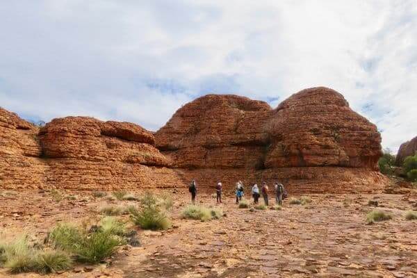
The scenery changed from flat open grassland, with a variety of desert plants, to gullies, creeks and rocky gorges of weathered sandstone and an ancient labyrinth of giant beehive domes standing 15 metres tall.
At the conclusion of the walk, we joined our coach for the short drive to Kings Canyon Resort, where we viewed the sunset as the cliffs glowed red and stars lit up the brilliant night sky.
Kings Canyon rim walk
Kings Canyon is one of the most spectacular sights in central Australia.
The hike begins with a steep climb up 500 stone steps to the plateau, the most challenging part of the trail.
Along the way we passed weathered beehive domes before the track skirted along the canyon’s precipitous rim. The dramatic views overlooking the vast wilderness below and the sheer cliffs on the opposite side of the canyon were spectacular.
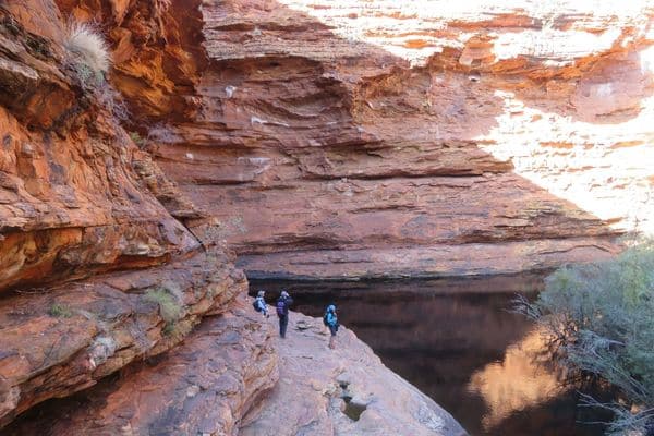
A series of wooden staircases then descends to a lush valley, the way lined with ghost gums and cypress pines, ending at a deep pool known as the Garden of Eden, surrounded by ferns and ancient cycads.
At Kings Creek Station, seated under shady gums, frogs croaked in the garden and we enjoyed camel or veggie burgers in an authentic outback setting before departing for Uluru 300 kms away, stopping at Lake Amadeus, a massive salt lake.
Kata Tjuta
In 1875 the explorer Ernest Giles described Kata Tjuta as ‘‘enormous haystacks…ancient and sublime.” To the indigenous Pitjantjatjara people, they mean many heads.
The 36 ancient domes of Kata Tjuta stand side-by-side covering an area of 35 square kilometres, with Mt Olga 200 metres taller than Uluru. Dating back 500 million years, they consist of a conglomerate of granite, basalt, sand and mud, giving a rough pitted appearance.
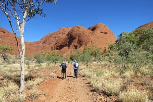
The Valley of the Winds walk provides a close up view of the towering domes. The track leading to lookouts offering stunning views and then down to a valley encircled by the domes through an open scrubland of wildflowers.
Uluru
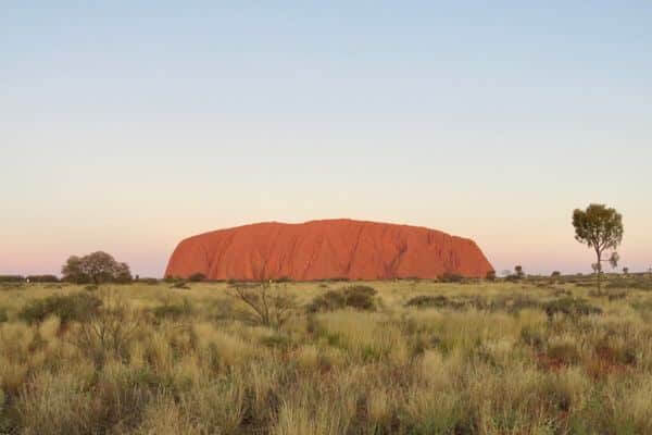
When the explorer William Gosse reached Uluru in 1873, he named it after Henry Ayers, the then premier of South Australia. The traditional owners, the Anangu have always known it as Uluru, and to them it’s sacred.
I’ve seen Uluru in winter and summer, in wet and dry, and at different times of day, and the colours are never the same. In the afternoon it appears brown, and at sunset and sunrise it glows a brilliant orange, turning deep red as the sun recedes.
Measuring 3.6 kms long and 2.4 kms wide, it stands 348 metres above the surrounding dunes, and is 9.4 kms if you walk around the base.
The base walk allows you to see the textures, the deeply pitted and sliced rough sandstone, the grooves and folds that form dark shadows, and the caves and waterholes. At the Mala and Mutijulu waterholes there are fine examples of rock art of goannas, frogs and Wanampi the ancestral water serpent. The full circuit is easy over flat even ground of open grassland.
To walk in the Red Centre is memorable in so many ways, but nothing can prepare you for the immensity of the landscape, or for the lasting effect it will have on you.
Travel Notebook
- Go between May and August for cooler temperatures and clear skies. Avoid the summer months when temperatures can reach 45 degrees Celsius.
- Life’s an Adventure offers the Red Centre trip several times per year. The walks are pack free and suitable for those of average fitness.
- For information on the national parks website or the Northern Territory parks website.
Are you ready to explore Australia’s Red Centre?
READ ALSO: Go Beyond Melbourne


